- Welcome
- Family History
- Letters & Diaries
- Folder: 1840 - 1859
- Survey for land containing a church, possibly the meeting house, near Cripple Creek road
 Survey for land containing a church, possibly the meeting house, near Cripple Creek road
- » Date: 1851-03-01
- » Subject: Survey for land containing a church, possibly the meeting house, near Cripple Creek road
- » Written By: William B. Foster
- » Addressed To: Major James Turk Gleaves Sr
- » Transcriber: Alice Hix
- » File # 1042
 Page 1 Image
Click to see the full imagePage 1
 Page 1 Image
Click to see the full image
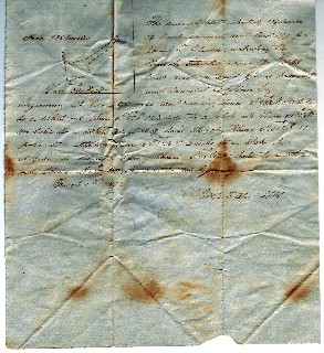
The annexed plat represents 136 perches of land surveyed and laid off for James T. Gleaves (including the church situated near the Cripple Creek road on Said Gleaves’ premises) and bounded as follows, Niz:
Beginning at two white oaks and running thence S. 13 ½ E. 8 ¾ poles to a white oak thence N. 63 E. 12 ½ poles to a white oak thence N 31 ¾ W. 4 ½ poles to a white oak east of Said Church thence N. 46 ¾ E. 21 poles to a stake thence N. 32 ¼ W. 2 poles to a stake by a dog-wood below a Spring thence S. 49 W 20 poles to a white oak thence S. 68 ½ W. 10 ¾ poles to the beginning.
March 1st 1851
Wm B. Foster S.W.C.
 Page 2 Image
Click to see the full imagePage 2
 Page 2 Image
Click to see the full image
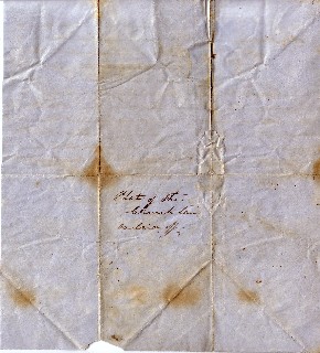
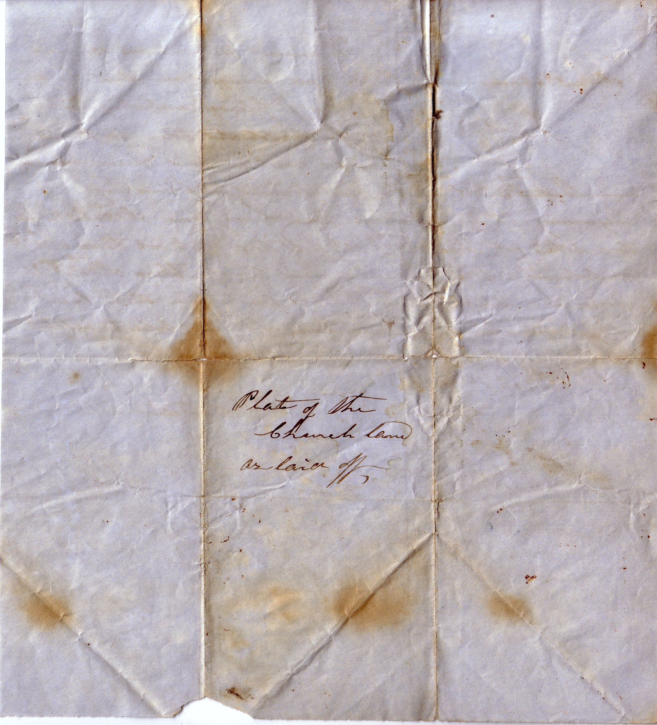
Plat of the
Church land
as laid off
Transcriber Notes
A pole in surveying is an unit of length with 1 pole equal to 16.5 feet
A perch as a unit of area is equal to 0.00625 acres. There are 160 perches to an acre.
Thus this survey contains 85% of an acre.
 Folders
- Information
- 1700s
- 1800 - 1819
- 1820 - 1839
- 1840 - 1859
- 1860 - 1879
- 1880 - 1899
- 1900 - 1919
- 1920 - 1939
- 1940 - 1999
- Drawings
- 2000s
- Practical Arithmatic
- Memo Book: JTG 1819
- Ledger: JTG 1827-1834
- Ledger: JTG 1836-1841
- Ledger: JTG 1841-1849
- Ledger: JTG 1849-1854
- Ledger: JTG 1852-1855
- Ledger: JTG 1854
- Ledger: JTG 1859-1868
- Catalogue: Emory & Henry
- Ledger: GWG, Tax Collection, 1850
- Ledger: JTG Jr 1850
- Diary: Betty Gleaves
- Acct Bk: Wythe Minute Men
- Ledger: East Tennessee
- Ledger: Company Description 1863
- Ledger: RHG 1870s
- Ledger: RHG 1876-1882
- Ledger: RHG 1882-1901
- Inventory: E. K. Byrd
- Ledger: Misc 1870s
- Writings: Laura Keene Gleaves
- Cookbook: 1893 Ladies Aid Society
- Order Bk: JTaylorG
- Ledger: JTaylorG 1909-1919
- Ledger: JTaylorG 1909-1945
- Writings: Anna Gleaves Rich
- References